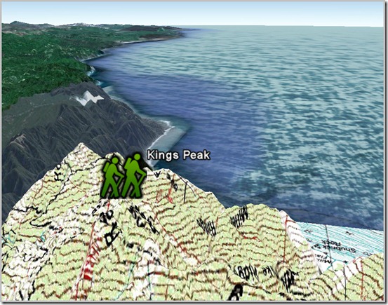
Referring back to my last post on network links, there are also many published kmz files on the web of network links to online Google Earth GIS information. One of the kmz files I particularly enjoy overlays USGS Topography Maps. This can be very useful when used with the Google Earth image/surface functionality of Civil 3D. The KMZ file for viewing USGS topography is available here: topomaps.kmz
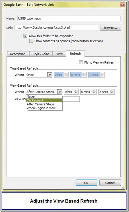
Adjustments can be made to the desired method of refreshing by right clicking on the network link and going to the properties menu. I prefer to change the refresh to On Request. The topo maps do not constantly refresh as the vantage point is moved for On Request.
To refresh the view, right click on the network link and select refresh.
To permanently save this network link to your GE database, right click and select Save to My Places.


